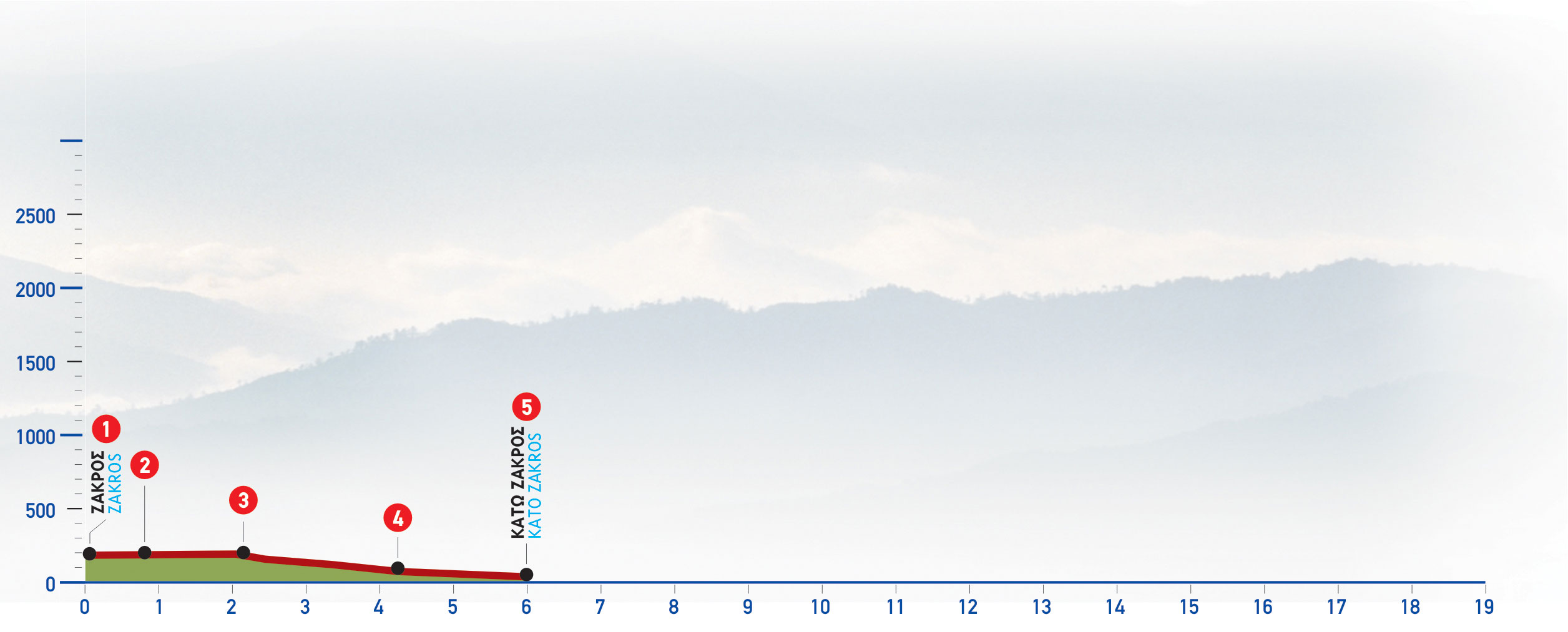
Following the marks, we pass through the old, upper area of the village of Zakros (1); we then reach the central square, and immediately after the village church courtyard.
We next follow the narrow cement road eastwards; it goes downhill through a sparsely-built area, until a little bridge over a streamlet.
We continue straight on the dirt road, which goes along the western bank of a water course, until the first turn-off on our left, which we follow. A small valley with farmhouses can be seen on our left-hand side.
A little further beyond, there is a turn-off on our left that we ignore; we continue until we come to a little farmhouse on our left. We descend for a few metres and then turn left; we next pass by a threshing floor and begin to descend towards the water course (2). We initially walk on the right-hand (southern) bank of the water course; however, after a few metres we pass onto its left bank, and continue until we reach the main section of the gorge a little beyond, and walk along its bed.
Having left two successive branches of the gorge behind us, on our left, we come to the point where the shorter branch (3) of the route ends up; this ends up at a parking area next to the road which connects Zakros to Kato Zakros.
We nextfollow almost continuously the course of the cement water conduit which runs throughout the gorge, channeling irrigation water to Kato Zakros.
After walking for 50 minutes in the gorge, which is full of oleanders and plane trees, we reach an area where there are caves in the wall, once used as burial site in the Minoan era (hence the name “valley” or“gorge of the dead”) (4). A few minutes after, we reach the outlet of the gorge; once there, we follow the dirt road to the left, walk south of the Minoan palace and end up at the small, current coastal settlement of Kato Zakros (5).


