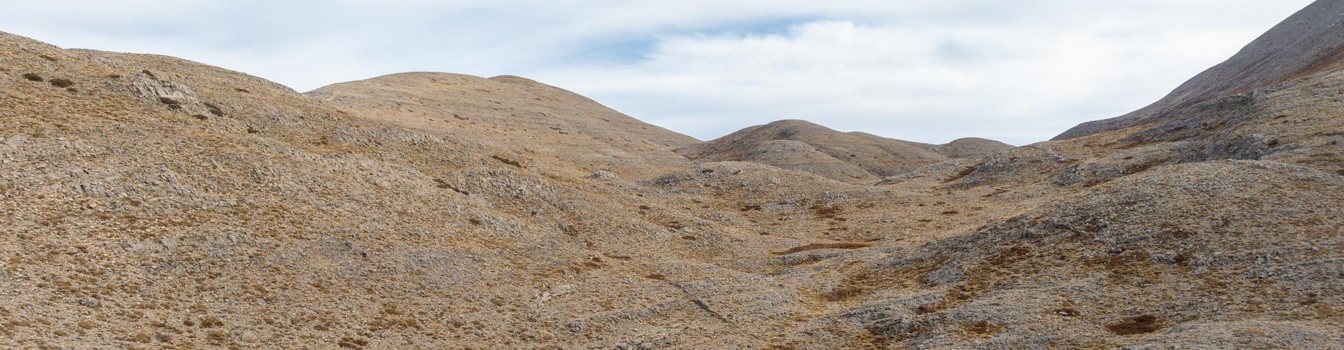
The Mygeros Plateau is a region situated directly below the summit of Psiloritis at an altitude of 1700 meters. It consists of a series of small and large plateaus (dolines) that develop along a major fault line traversing the entire northern section of Psiloritis.
From the Lake of Mygerou, a trail begins that leads to the summit of Psiloritis. Along the journey, the view of the dolines and the horizontal strata is breathtaking.
The geosite description is a result of the deliverable of the research project Joint Innovative Activities for Outdoor Tourism-JoinOut. The project entitled "Partnership of Innovative Rural Tourism Actions" and distinctive title: "JoInOuT", is implemented within the framework of the Action "Cooperative Innovation Formations/SCC" - 2nd Call: Businesses" and is financed by the European Regional Development Fund (ERDF) and by National Resources in the context of the Operational Program "Competitiveness, Entrepreneurship and Innovation (EPANEK)" of the NSRF 2014-2020" (Project code: ΓΓ2CL-0359457).


