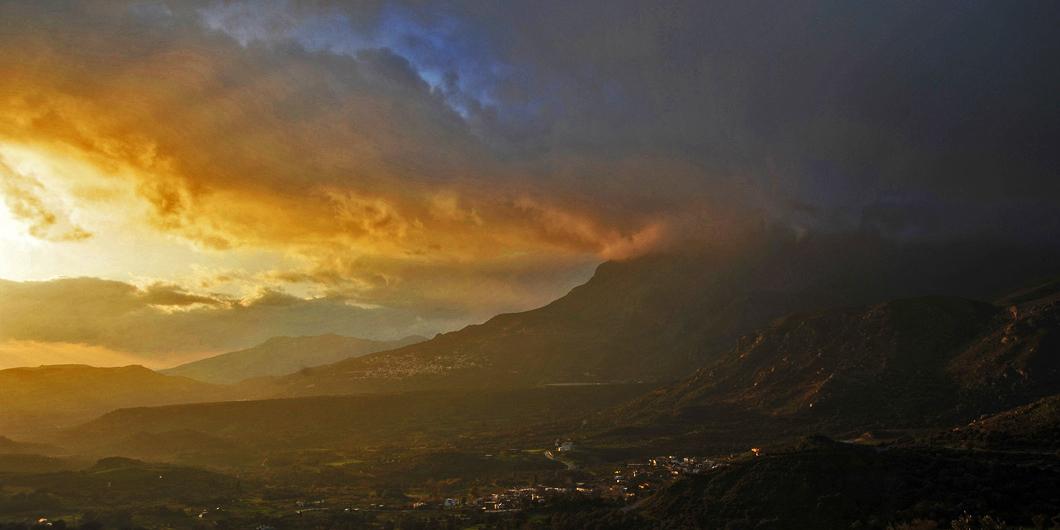
This route goes along the eastern and southern foot of Psiloritis, passes through picturesque villages, archaeological sites, Byzantine churches and locations of particular natural beauty, and it also offers the possibility of exploring many different side-roads and hiking routes.
Therefore, if one wishes to make all the suggested stops and try all the secondary routes, one should consider that it is not possible to do everything within only one day.
Setting off from Heraklion (1),we follow the National road in a westerly direction, up to the Gazi junction, where we turn into the road that goes to Tilissos (2). There, we can visit three Minoan villas of the Neopalatial period.
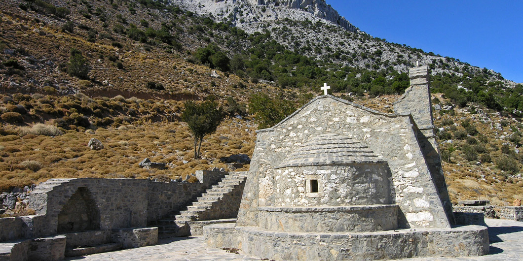
We then follow a scenic road which runs along a hilly landscape, where ancient olive groves and the famous vineyards of Malevizi dominate the scenery. We next pass through the villages of Moni, Keramoutsi and Korfes and arrive at Kroussonas (3). The village is amphitheatrically built on the eastern foothills of Psiloritis, at an altitude of 460 metres.
From Kroussonas we can visit the Convent of Agίa Irini and then continue driving through the mountainous area of Livadi, which is thick with apple and pear trees, as well as Vromonero, which has a characteristic forest of deciduous oaks.
Agrotourism facilities and traditional tavernas which serve delicious food are to be found in the area.
Upon our return to Kroussonas, we can visit the local products shop “Kroussaniótissa”, which is run by the Women’s Cooperative of the village.
The rusks, sweet delicacies (such as kalitsoúnia), decorated bread rolls and traditional noodles (hilopίtes) made by the women of the Cooperative are known for their quality.
We next visit Sarhos village, where the well-known Sarhos gorge is located, and then the Byzantine church of Eleoussa, at the village of Kitharida. We soon leave the small valley and then climb up towards Pentamodi and Petrokefalo, until we end up at Agios Mironas (4).
In this beautiful village, which is known for its traditional houses, one can visit the church and the cavernous skete of Saint Myron, to whom the village owes its name. The church was built in the Second Byzantine period; however, an early Christian basilica probably already existed there.
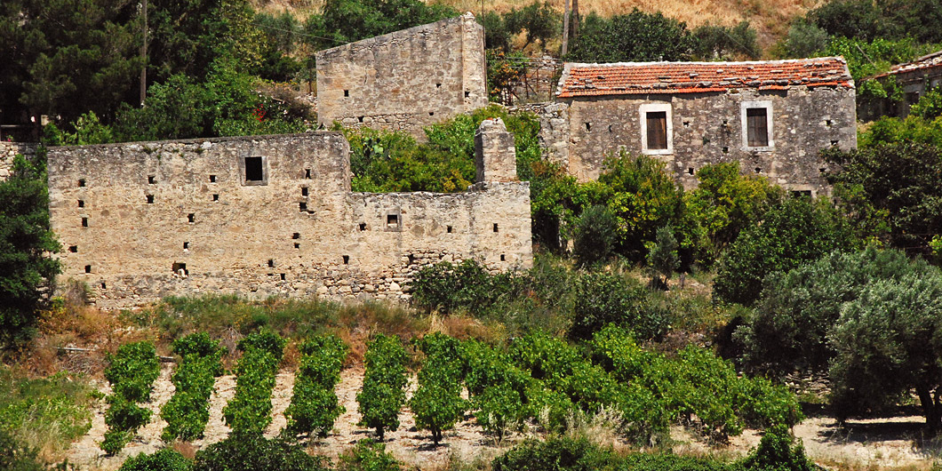
We continue southwards, pass through Kato Assites and then reach Pano Assites. There, we have the possibility of walking for 1,5 hour to the mountaineering shelter of the Heraklion Mountaineering Club, at the location of Prinos.
Although the path is quite rough, the view from the shelter is well worth it.
A little south from Assίtes we encounter the impressive rocky elevation of the Patela of Prinias, where the ruins of ancient Rizinia. are to be found. A stop here is well worth making, since the view is magical. If the day is clear it reaches all the way to the sea and to the island of Dia, in the gulf of Heraklion.
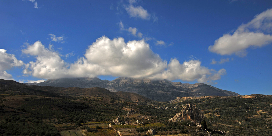
We continue further to the south, passing through Prinias and Agίa Varvara, where we can visit the traditional, picturesque village of Agios Thomas (5), where numerous Byzantine churches and several stone grape treading troughs can be seen.
In Agios Thomas there is one of the oldest agrotourism facilities of Crete.
We return to Agia Varvara and continue westwards towards Gergeri (6); we continue on the road which meanders down the slope above the village of Panassos and then arrive at Gergeri.
At Gergeri one can visit a small Museum of Natural History, several water mills and also wander through the narrow alleys of the village, or take the mountain road which leads to the famous Rouvas Forest, which is approximately 15 km away. This paved road turns into a dirt road from a certain point onwards and has many bends, then ends up in a verdant valley with a small river and large deciduous oaks.
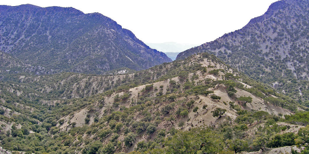
The Rouvas Forest is one of the most important ecosystems of Crete. It covers an area of approximately 30.000.000 square metres and it is part of the Natura 2000 network.
Oaks here managed to diversify from their usual (in this landscape) bushy form and size, and they have grown bigger. In addition to oak trees, in the forest one can also see cypresses, pines, plane trees, maple trees etc.
One has the possibility to make a stop for a picnic at a designated recreation area or follow the footpath which descends the Agios Nikolaos gorge and ends up near the artificial lake of Zaros. It is 5 km long in total, however it should be noted that the hike requires about 4 hours.
From Gergeri, we continue westwards and after Nivritos village, deep in the verdant valley, the picturesque village of Zaros (7) appears.
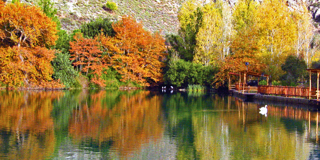
Zaros, which has been famous for its abundant spring waters since Antiquity, nowadays features important agrotourism facilities and is an ideal starting point for exploring the surrounding area, which has numerous monuments and a beautiful scenery.
South of Zaros one can visit many little abandoned villages and the artificial lake of the dam of Faneromeni, which has become an important bird habitat. North of Zaros there is the smaller yet beautiful Votomos lake. At the entrance to the gorge of Agios Nikolaos one can see the Agios Nikolaos Monastery which has a chapel with frescoes of the 14th century. A little west of the Votómos lake the ruins of a Roman Aqueduct are located.
West of Zaros, following the road to the historical village of Vorizia (8) we can visit two of the most significant Byzantine churches of Crete. The frescoes of Agios Fanourios, at the ruined today Varsamonero Monastery, are counted among the most exceptional of the Cretan School of icon painting.
At some point during our return from Vorίzia to Zarós, we take a side-road that goes northwards in order to visit the equally important Monastery of Vrontisi. According to tradition, Domenikos Theotokopoulos (El Greco) studied in its notable icon painting workshop.
If we follow the forest road which snakes up the pine-clad slopes of Psiloritis from Vrontisi, we can visit the western part of the Rouvas Forest or admire the view from Samari peak, where the Mountaineering Shelter of the Municipality of Zaros is located.


