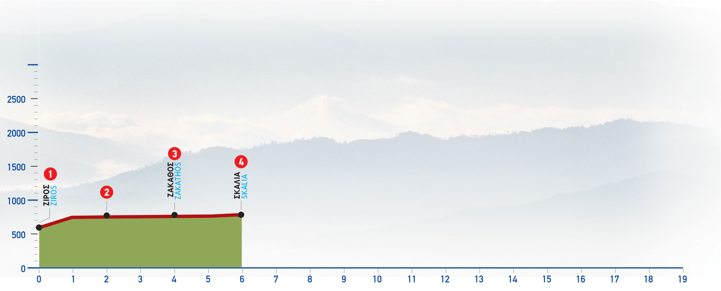
At the north-eastern side of Ziros there is the beginning of an old footpath (1), which initially runs along the left bank of a dry water course and then meanders on a slope; next, it crosses to the southern side of the water course and climbs up to a bare flat area with sparse prickly bushes.
A few metres beyond, having crossed a dirt road (2) , we reach a makeshift boundary fence with a gate, through which we pass and continue straight on, rather north-eastwards. (Gates should be left as you find them.)
We then come to a small flat area surrounded by a dry-stone wall seen on our left, as well as the ruins of a mitato (= stone shepherds hut) on its northern side.
We continue in a north-easterly direction, pass south of a low rocky elevation with a great many stones as well as a characteristic almond tree at its foot; we then bypass the small rocky rise (3) by its northern side.
North of this point there is the area of Zakathos, one of the ancient locations of the region,where the ruins of an old settlement, as well as a chapel of Agios Ioannis, can be seen.
We continue walking amongthe rocks and pass south of a small hollow with an old lime kiln; immediately after we come upon a gate in a boundary fence, through which we pass. On our right we see a low summit and the fence can be seen on our left for quite a few metres, as we walk along the old path.
After 1 hour and 30 minutes from Ziros, we arrive at a small plain with vineyards, on the northern side of which there are a few farmhouses and a well with drinking water; this location is called Kaneva.
After another 10 minutes, we reach the little, abandoned settlement of Skalia (4). South of the settlement there is a small flat area with abandoned cultivation terraces.
A water spring with drinking water is to be found at the foot of a rock, opposite of the chapel of the settlement.


